Unlocking Sky Secrets: Our UV Eyes on the Babinet Neutral Point
Have you ever looked up at the sky, maybe through polarized sunglasses, and noticed how the light changes depending on where you look? It’s pretty fascinating! Sunlight isn’t just simple light; it interacts with our atmosphere, scattering off air molecules and tiny particles like aerosols. This interaction does something cool: it polarizes the light. Think of polarization like light waves vibrating in a specific direction, rather than randomly. It’s this polarized sky light that helps creatures like bees navigate, and honestly, it’s a powerful tool we can use too!
The Sky’s Hidden Markers: Neutral Points
While most of the sky shows this neat polarization pattern, there are these peculiar spots where the light becomes completely unpolarized. We call these neutral points. There are four main ones: Babinet (hanging out above the Sun), Brewster (chilling below the Sun), Arago (opposite the Sun, above the anti-Sun), and the Fourth (below the anti-Sun). You can usually only spot two at a time.
These neutral points aren’t just cosmic curiosities. They are formed because of complex interactions, particularly involving multiple scattering of light in the atmosphere. This makes them incredibly sensitive to what’s floating around up there – things like haze, smoke, and even clouds. Changes in these atmospheric particles, or turbidity as we scientists call it, can actually shift the position of these neutral points in the sky. That sensitivity makes them potentially valuable tools for monitoring our atmosphere, maybe even helping us track things like pollution or wildfire smoke!
For a long time, studying these points in detail was tricky. Early observations gave us hints that their positions could tell us about atmospheric turbidity, but the instruments weren’t quite up to the task for widespread, precise measurements.
Meet ULTRASIP: Our New UV Sky-Watcher
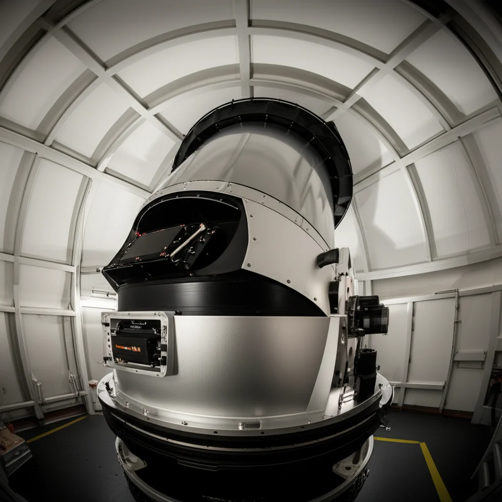
That’s where our recent work comes in! We’ve developed a new instrument called the Ultraviolet Linear Stokes Imaging Polarimeter, or ULTRASIP for short. It’s a ground-based polarimeter, meaning we use it right here from the Earth’s surface, and it’s designed to look specifically at the sky’s polarization.
What makes ULTRASIP special? Well, first off, it operates in the ultraviolet (UV) part of the light spectrum, specifically centered around 355 nm. Why UV? Because previous studies suggested that observations in UV and blue light are particularly sensitive to atmospheric conditions and less affected by surface reflections and certain types of clouds compared to visible light. Also, polarization effects seem stronger and the neutral points show greater shifts in these shorter wavelengths.
Second, ULTRASIP is designed for high precision. Unlike older methods that might use wide-angle or “fish-eye” lenses which capture a huge chunk of the sky but with lower detail, ULTRASIP has a much narrower, more focused view. Its instantaneous field of view (IFOV) is just 7.2 arcseconds per pixel. To give you perspective, a typical fish-eye system might have an IFOV of 360 arcseconds! This high resolution is key to accurately pinpointing the exact location of a neutral point.
ULTRASIP is built to be portable and tough enough for outdoor use. It works by taking measurements of polarized light at different angles (0°, 45°, 90°, and 135°) by rotating a special polarizer. These measurements allow us to calculate something called the linear Stokes parameters (Q and U), which are mathematical ways to describe the polarization state of the light.

The Clever Trick to Finding the Point
Now, finding the *exact* center of a neutral point is tricky. In a perfect world, the Stokes parameters Q and U would be exactly zero right at the point. But the real world is messy! Measurements have noise, and near the neutral point, the polarization changes really rapidly, making simple measurements unreliable.
So, we developed a novel technique. Instead of just looking for where Q and U are zero, we analyze how these parameters change across the image. We normalize the Q and U values by the total light intensity (I) to get Q/I and U/I. We noticed something cool: Q/I changes mainly as you move up and down (altitude), while U/I changes mainly as you move left and right (azimuth). This allows us to simplify things!
We calculate the average Q/I across rows (which depends mostly on altitude) and the average U/I down columns (which depends mostly on azimuth). Then, we use a statistical method called weighted least-squares regression. Imagine drawing a line through these averaged values. The point where this line crosses zero for Q/I gives us the estimated altitude of the neutral point, and where it crosses zero for U/I gives us the estimated azimuth. This method is much more robust than trying to find a single pixel where Q and U are zero, and it allows us to estimate the neutral point’s position with remarkable precision, even *between* pixels (sub-pixel resolution)!
Watching Babinet Dance with the Sun
We put ULTRASIP to the test, observing the Babinet neutral point from the rooftop of a building in Tucson, Arizona, for about 10 hours on a specific day. ULTRASIP tracked the Sun’s position and scanned the sky above it, capturing images every time it changed altitude slightly.
What did we see? As expected, the Babinet neutral point pretty much followed the Sun across the sky in terms of its azimuth (its horizontal position). The difference in azimuth between the Sun and Babinet was very small, less than 1.7 degrees throughout the day. This makes sense, as Babinet is located *above* the Sun along the same vertical plane.
However, the altitude difference – how high Babinet was above the Sun – changed noticeably throughout the day. We observed this difference varying from about 9.4 degrees to over 25.4 degrees. The minimum difference occurred around midday when the Sun was highest in the sky, and the maximum difference happened closer to sunset when the Sun was lower. This pattern aligns nicely with what other researchers have seen in visible light.
Crucially, our technique allowed us to estimate the position of the Babinet neutral point with really low uncertainty. For altitude, the uncertainties ranged from 2.16 to 5.40 arcseconds, and for azimuth, from 2.52 to 21.96 arcseconds. Remember ULTRASIP’s IFOV is 7.2 arcseconds? These uncertainties are *smaller* than a single pixel for altitude, and often for azimuth too, proving our estimation technique works at a sub-pixel level! The uncertainties were highest when Babinet was closest to the Sun, likely because of stray sunlight making measurements trickier.

Why This Matters and What’s Next
So, why is all this important? By successfully imaging the Babinet neutral point in the ultraviolet for the first time (that we know of!) and developing a precise way to track its position from the ground, we’ve opened up new possibilities.
The ultimate goal is to use these precise neutral point positions as indicators of atmospheric turbidity. We know their positions shift based on aerosols and other particles. By carefully monitoring how the Babinet point moves over time and correlating those movements with known atmospheric conditions (perhaps using data from established networks like AERONET, which measures aerosol properties), we can build a better understanding of this relationship.
Imagine being able to look at the sky’s polarization signature and get a quick estimate of how much haze or smoke is in the air, even if you can’t see the plume directly! This could be particularly useful for rapidly changing situations like wildfire smoke events, where traditional methods might be slower or limited by line-of-sight.
Our next steps involve using computer models (called radiative transfer forward models) to simulate how different types and amounts of aerosols would affect the Babinet neutral point’s position. We can then compare these simulations to our real-world observations to validate our findings and refine the technique. Over time, by collecting lots of data, we hope to establish a clear empirical link between neutral point movements and atmospheric turbidity.
This work is just the beginning, but it shows that ground-based UV polarimetry, with instruments like ULTRASIP and smart data analysis techniques, holds great promise for enhancing our ability to monitor and understand our ever-changing atmosphere.
Source: Springer