Unlocking Eastern Africa’s Deep Past: Dive into the Wanyika Dataset!
Hey There, History Buffs!
You know, sometimes trying to understand the deep history of a place is like trying to piece together a giant puzzle where all the pieces are scattered across a thousand different rooms. That’s been a bit of the challenge with eastern Africa’s archaeological record. It’s incredibly rich, telling stories of migrations, the spread of farming, ancient trade routes across the Indian Ocean, and how people adapted to changing environments over thousands of years. But getting a handle on all that information, which is tucked away in countless publications, has been, well, tricky!
Enter Wanyika: A Game Changer
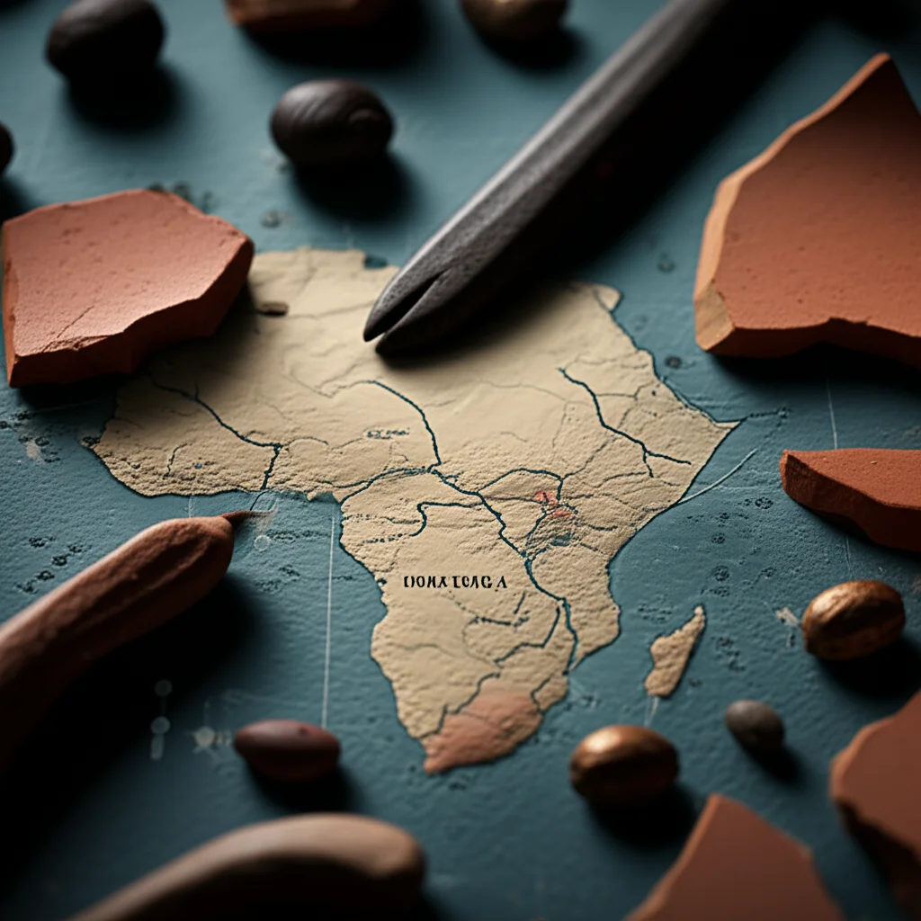
But guess what? Some incredibly dedicated researchers have just done something pretty amazing. They’ve pulled together a massive amount of this scattered information into one central, open-access database. They’ve named it Wanyika, which is a lovely Bantu term meaning “people of the wilderness.” How cool is that? This isn’t just any old list; it’s a dataset of scientific dates from archaeological sites across eastern Africa, stretching way, way back – from about 5000 BCE right up to 1800 CE. That’s almost seven thousand years of history!
What’s Inside This Treasure Trove?
So, what exactly did they gather for this Wanyika dataset? It’s a goldmine of information, focusing on sites in Kenya, Tanzania, the Comoros Islands, and Madagascar, plus a few key spots in Rwanda. They’ve compiled all the published scientific dates they could find – think radiocarbon dates, luminescence dating, and even obsidian hydration dates. But they didn’t stop there! Crucially, they’ve also linked these dates to the archaeological finds from those sites.
We’re talking about:
- Botanical finds: Evidence of ancient crops, both local and those that arrived via trade.
- Faunal finds: Remains of animals, telling us about diet, domestication, and even interactions with wild species.
- Iron artefacts: Showing the spread and use of metalworking technology.
- Ceramics: Pottery styles that can help us understand cultural connections and movements of people.
They even included data on megafauna extinctions in Madagascar, which is a whole fascinating story in itself about humans and giant, now-extinct animals living side-by-side for a time.
Why Does This Matter So Much?
Eastern Africa is a really significant region for understanding major human history themes – things like how agriculture spread, the movement of different populations (like the Bantu expansion), and the development of complex trade networks. For ages, researchers have debated big questions: Did climate change drive people to move? How did different groups – farmers, herders, foragers – interact? How did new technologies and ideas spread?
The problem was, answering these questions properly, especially with modern computational tools (what the cool kids call “archaeoinformatics”), was tough because the data wasn’t all in one place or in a standardized format. It was dispersed across hundreds of publications, some hard to get hold of. Wanyika changes that. By bringing this data together, it makes it possible to do the kinds of large-scale analyses that are happening in other parts of the world, finally shedding light on these crucial eastern African debates.

The Nitty-Gritty: Building the Dataset
Putting Wanyika together was no small feat. The team sifted through *over 500* scientific publications! They used search engines, dug through journal archives (like the long-running *Azania* journal), and even contacted original authors and dating labs to fill in gaps and clarify details.
They were super careful about quality control too. They developed a system to grade the reliability of each scientific date based on things like:
- Stratigraphic integrity: Was the date from a clear, undisturbed layer in the ground?
- Reliability: How precise was the date (based on its standard deviation)?
- Sample Type: For radiocarbon dates, was it from something short-lived (like a seed) or potentially older (like a piece of long-lived wood, which can cause an “old wood effect”)?
- Aquatic Effects: Could the date be skewed by the sample coming from an aquatic environment?
- Pre-treatment Accuracy: For radiocarbon dates, how good were the lab methods used to clean the sample?
This grading system (from Class A for most reliable to Class D for least) helps users understand how much confidence to place in each date. It’s like giving each piece of the puzzle a little rating!
Where Does the Data Come From?
As I mentioned, the dataset focuses on Kenya, Tanzania, Comoros, and Madagascar. These areas were chosen because they have some of the best-documented archaeological records for this time period, especially thanks to lots of radiocarbon dating. Rwanda was included with selected sites because it has some of the earliest evidence for domesticated crops in the region and is thought to be a key route for the spread of farming inland.
It’s important to note that this isn’t *every single* archaeological site in eastern Africa from this period. It’s specifically focused on sites that have scientific dates, and even within those, there are still gaps in the associated finds data. The researchers are upfront about this – the dataset is a preliminary, foundational work, not the absolute final word on everything. The spatial distribution of sites with dates isn’t even across the whole region, which is something future research needs to address.

How It’s Organized and Accessed
The Wanyika dataset is structured as a “flat-file,” which basically means it’s like a big spreadsheet. Each row is a single scientific date entry, and there are 75 columns providing all sorts of details. These columns cover everything from the site name, country, region, latitude, longitude, and dominant vegetation, to the specific dating method used, the lab code, the uncalibrated and calibrated dates (in BCE/CE and BP), the type of material dated, and whether specific types of finds (like certain crops, animal species, iron, or ceramics) were present at that site associated with that date.
There are 1792 date records in total, linked to 422 different sites. If a specific find type was present, the cell says “Yes”; otherwise, it’s blank.
And the really great news? It’s available open-access! You can find the Wanyika dataset on the Pandora data platform (pandoradata.earth). It’s part of the AfriArch data community there. This makes the data “findable” and “accessible,” following those important FAIR data principles (Findable, Accessible, Interoperable, Reusable). The team hopes this open access will encourage more research and collaborations to expand and improve the dataset over time.
Acknowledging the Journey Ahead
While Wanyika is a huge step forward, the researchers are clear that it’s a starting point. The focus on sites with scientific dates means it doesn’t capture the full picture of *all* known sites, and there are still many areas in eastern Africa where archaeological science methods haven’t been widely applied. For example, identifying animal remains to the species level is still a work in progress for many sites, and newer techniques like residue analysis on pottery or digital archaeology are just starting to be fully explored in the region.

Despite these ongoing challenges, having Wanyika available is absolutely crucial. It provides a systematic framework and a solid foundation. By highlighting where the data *is* and, just as importantly, where the data *isn’t*, it helps researchers plan future work more effectively.
Looking to the Future
This dataset is designed to be built upon. It’s a stepping stone towards assembling even larger, regional-scale datasets for eastern Africa. The potential for using Wanyika to explore geographical patterns, understand the timing and spread of key developments like farming and iron working, and disentangle the complex interactions between different groups of people (foragers, herders, farmers) is immense.
Ultimately, by making this wealth of chronological and associated archaeological data available and standardized, Wanyika isn’t just helping us understand the past; it’s providing vital context and information that can even help us think about contemporary challenges related to land use, environmental change, and biodiversity by looking at the long-term human impact on eastern African landscapes.
So, hats off to the team behind Wanyika! They’ve given us a fantastic tool to start putting those scattered puzzle pieces together and get a much clearer picture of eastern Africa’s incredible journey through time.
Source: Springer


