Mosquitoes, Maps, and the Mekong: Unpacking Dengue’s Drivers in Laos and Thailand
Hey there! Let’s Talk Dengue
So, I stumbled upon this really fascinating study, and I just had to share it with you. It dives deep into something that’s a pretty big deal in places like Laos and Thailand: dengue fever. You know, that nasty illness spread by mosquitoes? It turns out, understanding where and when it pops up isn’t just about pesky bugs; it’s also heavily influenced by the world around us – the climate and the very ground beneath our feet.
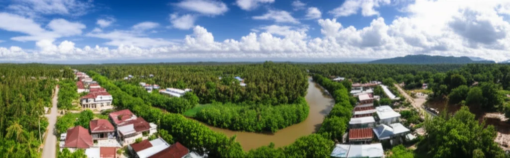
This particular study took a long, hard look back, from 2002 to 2019, at four provinces chilling along the Mekong River – Savannakhet and Champasak in Laos, and Mukdahan and Ubon Ratchathani in Thailand. These areas are dengue hotspots, and the folks behind this research wanted to figure out exactly *what* was driving the risk over nearly two decades. They weren’t just guessing; they used some pretty fancy computer modeling to connect the dots between dengue cases, changes in temperature, rainfall, and how the land itself was being used or covered (think forests, farms, cities, and even puddles!).
Why This Is a Big Deal (Beyond the Buzz)
Globally, dengue is a massive headache. Half the planet lives where they could potentially catch it. Southeast Asia, in particular, gets hit hard, with millions of infections every year. And here’s the kicker: despite global efforts and strategies to cut down on deaths and illnesses from dengue, we haven’t really hit the targets. In fact, 2023 saw a historic peak in cases! Since there’s no magic cure and vaccines have had their ups and downs, controlling those little mosquito carriers is still our main weapon.
But vector control isn’t just about spraying or telling people to cover up. It’s complicated! The environment plays a huge role. Mosquitoes need water to lay eggs, and where that water is found depends a lot on the landscape. Are there lots of little containers in built-up areas? Are there temporary pools after rain? How about tree holes in plantations? All these things matter. And then there’s the climate – temperature and rainfall basically set the stage for mosquito life cycles and how quickly the virus can spread.
The Climate Story: Getting Warmer and Wetter (Sometimes)
One of the first things this study noticed was that temperatures were creeping up in these provinces. Over the study period, the average annual temperature increased by anywhere from 0.44°C to a noticeable 0.94°C. Now, you might think a degree isn’t much, but for mosquitoes and the dengue virus, it can be a game-changer.
The model showed that for every 1°C increase in weekly average temperatures, up to a certain point (around 28-29°C), the average dengue risk jumped significantly – up to 24% in the Lao provinces and 18.9% in the Thai ones! It makes sense; warmer temperatures speed up the mosquito’s development and the virus’s replication inside them. They also looked at rainfall. An increase of 1mm of weekly rain, up to about 60mm, was linked to a 1.8–3.2% increase in dengue risk. Rainfall is a bit trickier though; while it creates breeding sites, too much can sometimes wash away larvae. It’s a delicate balance.

The Changing Landscape: From Forests to Farms to Cities
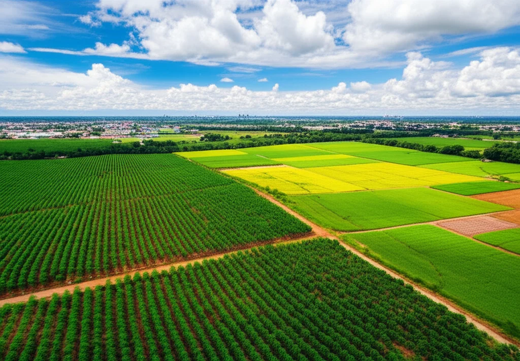
The land in these provinces didn’t stay the same over those 18 years. Forests, both evergreen and deciduous, actually shrank quite a bit. Meanwhile, other areas grew. Rubber plantations, for example, expanded significantly, replacing forests and other crops. Built-up areas – think cities and towns – also increased, albeit at a slower pace, but steadily across all provinces.
These changes in land use and land cover (LULC, if you want to get technical) are super important because they directly affect where mosquitoes can live and breed, and where humans are most likely to interact with them.
What the Land Tells Us About Risk
This is where it gets really interesting. The study found some clear connections between how the land was used and the risk of dengue:
- Built-up Areas: Yep, cities and towns are dengue magnets. For every 1 km² increase in built-up area, dengue risk went up by 1.8% to a whopping 6.9% depending on the province. This is likely because these areas have lots of people close together and plenty of human-made containers (buckets, tires, water storage) where mosquitoes love to breed.
- Rubber Plantations: This one was a bit ambiguous. In Ubon Ratchathani (Thailand), more rubber plantations meant more risk (a 0.9% increase per 1 km²). But in Mukdahan (also Thailand), more rubber actually meant *less* risk (a 2.2% decrease per 1 km²). The researchers think this might be because of what the rubber plantations replaced. If they replaced forests with low human activity, the risk might go down. If they replaced areas less suitable for mosquitoes, the risk might go up. Context is key!
- Wetlands (Permanent e Temporary): This is counter-intuitive! The study found that wetlands, including temporary flooded areas, were often associated with *decreased* dengue risk. A 1 km² increase in temporary wetlands could reduce risk by 3.4-5.3%. Permanent wetlands showed a similar negative effect in Savannakhet. Why? Maybe the flooding washes away larvae, or natural predators in wetlands keep mosquito numbers down, or maybe people aren’t hanging out in flooded areas as much. It challenges the simple idea that more water always equals more mosquitoes.
- Forests: Deciduous forests were linked to lower risk, probably just because fewer people are spending time there for mosquitoes to bite.
- Other Crops: Cassava was linked to increased risk in Ubon Ratchathani, and sugarcane showed a strong positive link in Mukdahan (an 11.3% increase per 1 km²!). Rice paddies didn’t show a clear link, which is interesting because you’d think they’d be mosquito heaven.
Putting it all together, the study clearly showed that both climate changes (warmer temps, specific rainfall patterns) and changes in how the land is used are tangled up with the increasing risk of dengue in these areas. Savannakhet province in Laos, for instance, seemed to have the perfect storm of factors leading to consistently higher dengue cases than expected.
The Nitty-Gritty (Without Getting Too Lost)
How did they figure all this out? They used historical data on dengue cases, temperature, rainfall, and satellite images showing how the land changed year by year. They then plugged all this into a sophisticated statistical model called a Bayesian spatiotemporal model. Think of it like a super-smart detective that can look at patterns across space (different districts/sub-districts) and time (week by week, year by year) simultaneously to see which factors are most strongly associated with dengue risk. They even looked at time lags – how a change in temperature or rainfall this week might affect dengue cases a few weeks later, which is crucial because it takes time for mosquitoes to develop and transmit the virus.
They calculated something called the “posterior median relative risk” (PMRR) to quantify the effect. Basically, if the PMRR is 1.2, it means a specific factor increases the risk by 20%. If it’s 0.8, it decreases the risk by 20%. This allowed them to put numbers on how much each degree of temperature rise or square kilometer of urban growth impacted the likelihood of dengue.

What We Learned and Where We Go From Here
The big takeaway is that dengue isn’t just a medical problem; it’s an environmental and urban planning challenge too. As cities grow and landscapes change (like forests being replaced by plantations), we’re potentially creating new opportunities for mosquitoes to thrive and spread disease.
The study highlights that targeting specific, high-risk areas (what they call the “microgeographic scale”) is key for effective control. Knowing that built-up areas are high risk, or that certain types of agriculture might increase risk in one place but not another, helps public health officials decide where to focus their limited resources.
Of course, no study is perfect. They mentioned limitations like potentially under-reported dengue cases or not being able to fully account for how people move around (which can spread the virus). Future research could get even more detailed, maybe looking at specific houses or neighborhoods, and integrating data on mosquito populations and human travel.
Ultimately, this research is a call to action. It tells us that to get a handle on dengue, we need to think beyond just treating patients or spraying for mosquitoes. We need to consider how our cities are built, how we use the land, and how climate change is shifting the playing field. Urban planners, agricultural policymakers, and public health folks need to work together. And hey, maybe understanding that wetlands can actually *reduce* risk gives us some new ideas for natural ways to help manage the problem!
It’s a complex puzzle, but studies like this give us crucial pieces to help protect communities in Laos, Thailand, and other dengue-prone regions. It’s about being smart, being adaptable, and working with the environment, not against it.
Source: Springer